The FSO's statistical atlases are produced for you! Interactive map applications and print atlases are a source of extensive knowledge on fascinating regional issues relating to all topics covered by the FSO.
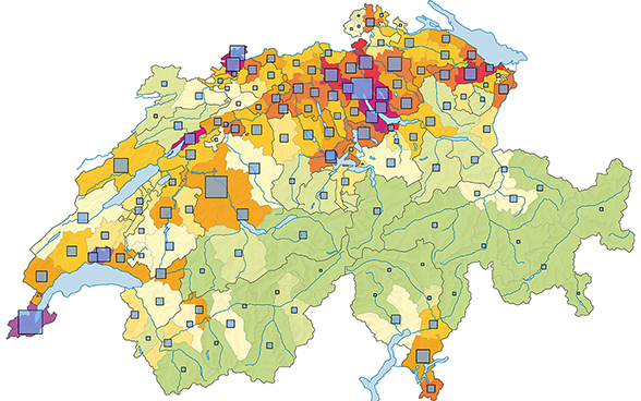
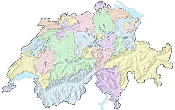
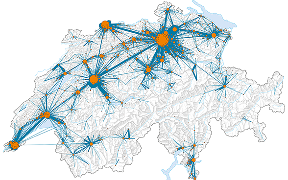
The diversity of the thematic cartography can be seen in the FSO's numerous online and print publications. Unique display methods are used to visualise regional differences and contexts.
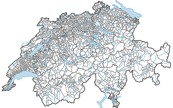
Would you like to create your own thematic maps in your cartographic and geographic information system using your own statistical data? And are you looking for the basic tools you need for the job?
Our English pages offer only a limited range of information on our statistical production. For our full range please consult our pages in French and German (top right hand screen).